Samrudhhi 10LH

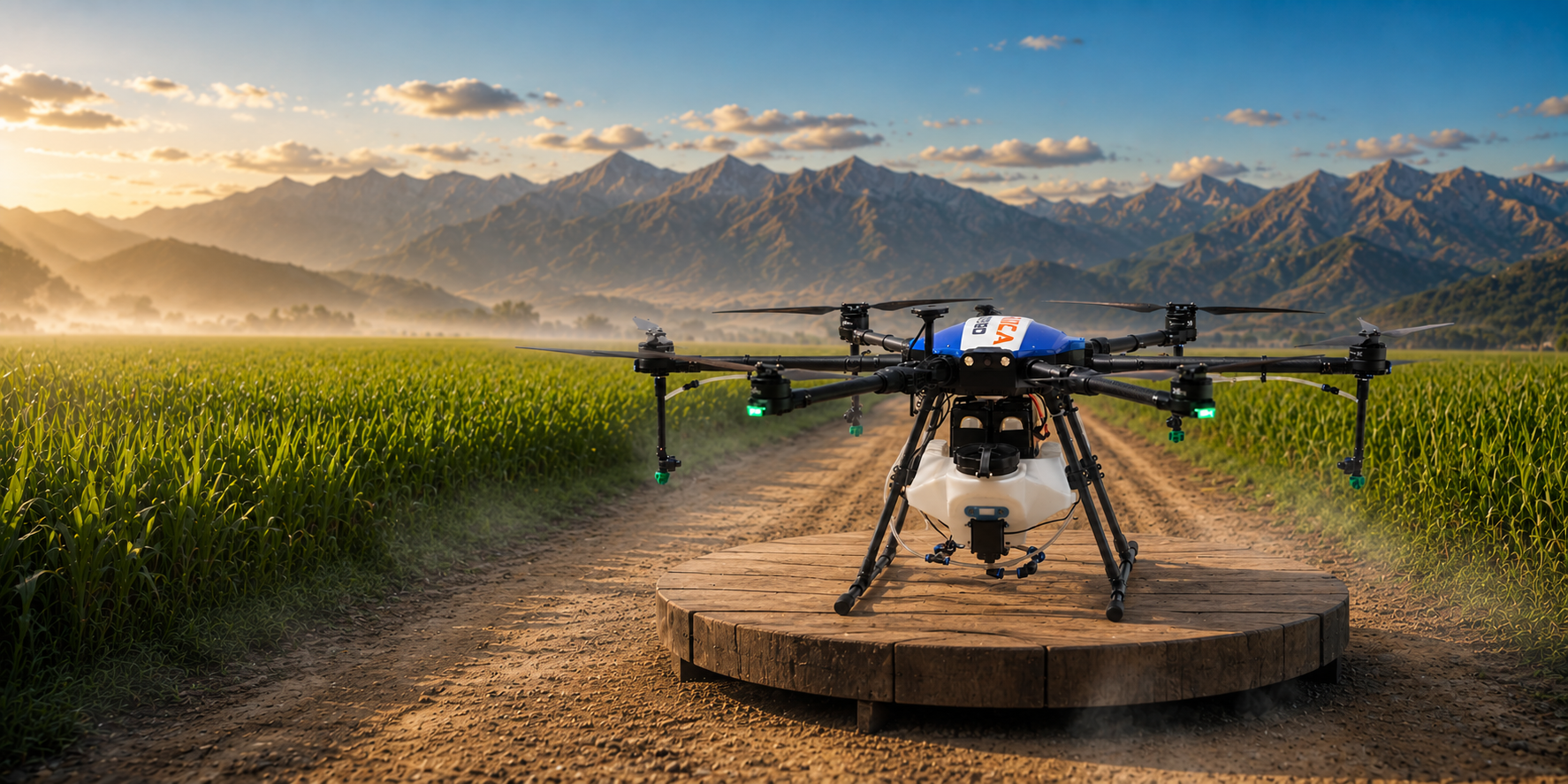
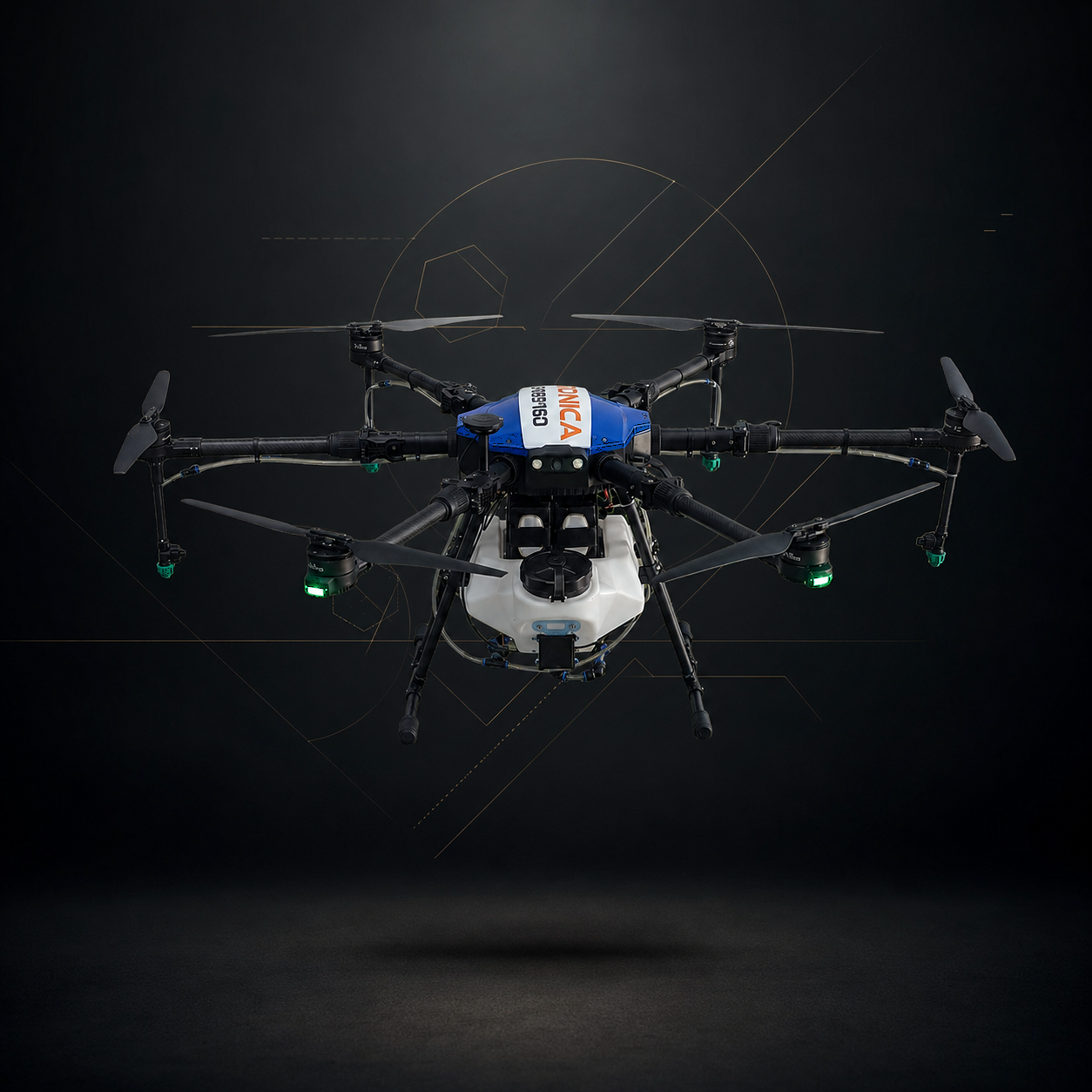
Improve farm productivity with the Samrudhhi-10LH agriculture spraying drone. Designed for efficient pesticide and nutrient application across different crops.

Our Impact

By the Numbers

355289 +
Area Scanned (Acres)
23732 +
Area Sprayed (Acres)
98 %
Mapping Accuracy
1874 +
Clients
Products

Our Platform Ecosystem

DGCA-certified UAV platforms engineered for Indian conditions, from precision agriculture to industrial inspection.

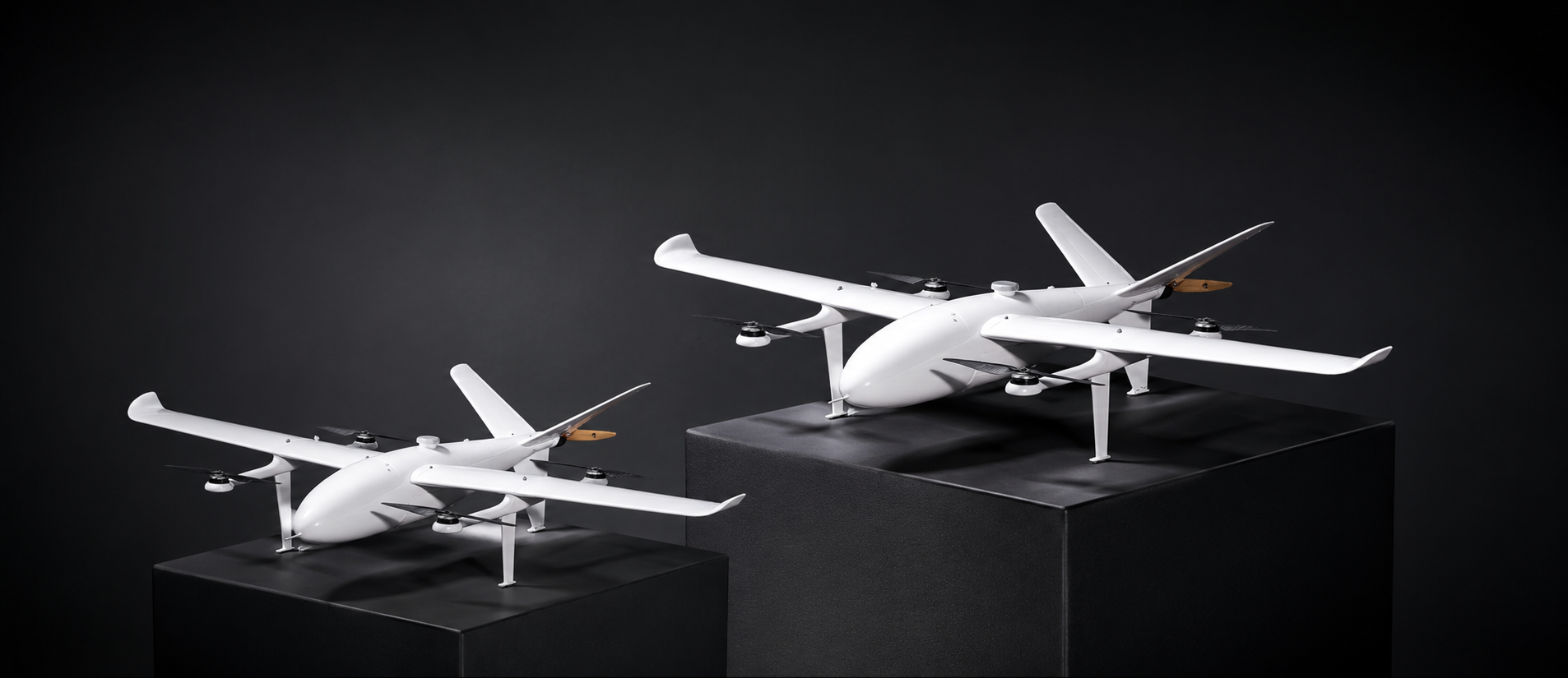
Samrudhhi-10LH
Heavy Lift Hybrid

Samrudhhi-10LH

Built for large-scale farming, it allows for more effective crop spraying and coverage.

31.5 Kg MTOW
10 L Tank Capacity
24 min Flight Time
More Information
What we offers

Our Services

UAV solutions engineered for industrial scale — precise, dependable, built to perform where it counts.

Explore All Services

Agriculture Spraying Drone

We provide drone spraying that targets exactly where it's needed — less waste, healthier crops.

Learn More

GIS Survey and Mapping

We deliver sub centimeter accurate surveys and maps for railways, mines, and infrastructure projects.

Learn More

Security and Surveillance

We monitor your site around the clock with AI-powered drones that flag anomalies in real time.

Learn More

DGPS Survey

We deliver centimeter-accurate DGPS surveys for topographic and cadastral mapping.

Learn More
Our Technology

Built in India, Built for Impact

Purpose-driven engineering meets indigenous innovation. Every system is designed, tested, and manufactured in-house to deliver uncompromising performance.

Explore Technology

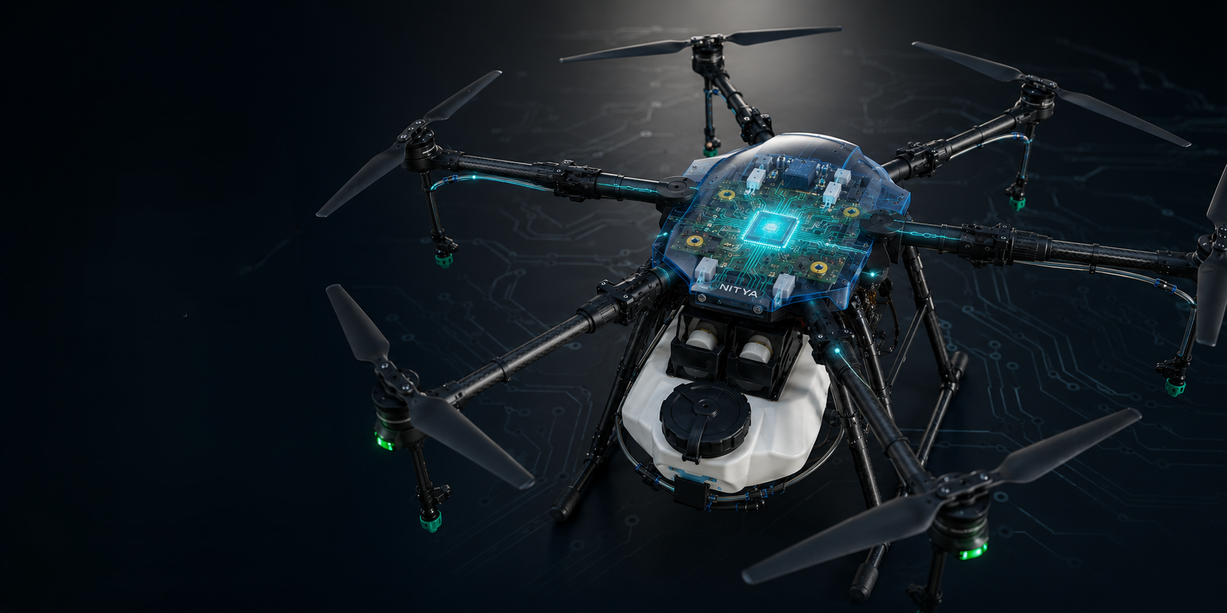
Nitya Flight Controller

An Made in Indian flight controller that delivers safe, stable, and intelligent drone performance.

Aeroni.AI Engine

A powerful AI platform built for smart, secure, and scalable drone operations insights .

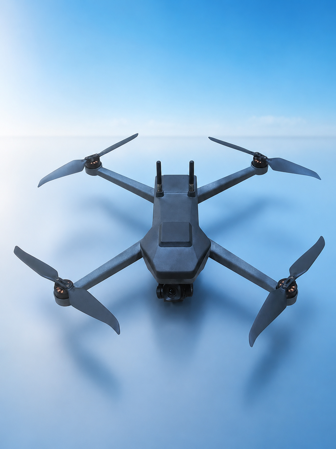
Unified Surveillance System

AI-powered UAV surveillance platform for real-time monitoring, detection, alerts, and actionable insights.

Who We Serve

Industries We Serve

Six sectors, one standard: precision drone solutions built for where it matters most.

Railways

Corridor mapping, track alignment, encroachment detection

Mining

Volumetric surveys, stockpile analysis, pit monitoring

Agriculture

Precision spraying, crop health, yield estimation

Oil & Gas

Pipeline surveillance, leak detection, ROW monitoring

Construction

Site surveying, progress tracking, volume calculations

Power & Utilities

Transmission line inspection, thermal imaging, vegetation management

Our Work

Featured Projects

Real-world impact across industries — from railway corridors to mining operations and pipeline surveillance.
01

Central Railway Corridor Mapping

We mapped over 200 km of rail network using RTK-enabled drones and LiDAR, capturing track alignment, embankments, drainage systems, and encroachment zones with sub-centimeter accuracy giving the railway a clearer, more reliable picture of its own corridor.

02

JSW Steel Mine Volumetric Survey

We mapped JSW Steel's mining operations in 3D, using photogrammetry and GIS-integrated workflows to estimate stockpile volumes, track pit progression, and assess slope stability across the site.

03

IOCL Pipeline Surveillance

We deployed our Unified Surveillance System across IOCL's cross-country pipeline network, using EO/IR sensors and AI-assisted detection to deliver real-time intrusion alerts and right-of-way monitoring.

Trusted by Leading Organisations
Latest News

Insights & Updates

The latest from Aeronica on drone technology, industry trends, and operational insights.
1

Precision Agriculture: How Drones Are Transforming Indian Farming

Discover how DGCA-certified agricultural drones are revolutionizing Indian farming with precision spraying, real-time crop monitoring, and data-driven yield optimization.

June 10, 2026 Read
2

GIS and Drone Mapping: The Future of Infrastructure Development

Sub-centimeter accuracy, LiDAR integration, and AI-powered analytics are setting new standards for infrastructure survey, planning, and project execution across India.

May 28, 2026 Read
Let's work together

Ready to transform your operations?

From precision agriculture to industrial surveillance — we build drone solutions that deliver real results.

Start a Conversation